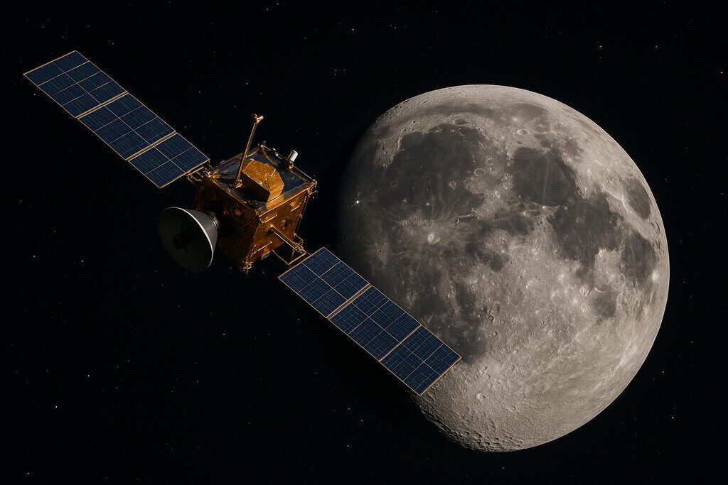
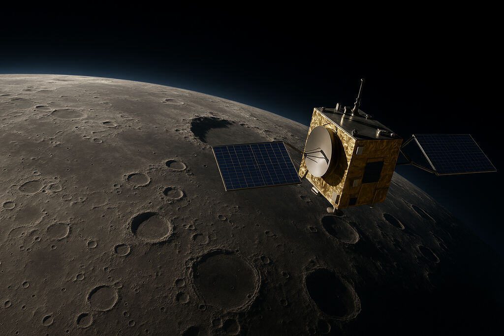
Exploring the Moon today feels a lot like rediscovering an old family home—one we haven’t visited in decades. NASA’s Lunar Reconnaissance Orbiter (LRO) has been circling the Moon since 2009, acting like a scout that checks every corner before we return. Think of it as sending a friend ahead to map the trails, spot dangers, and find the best places to camp.
LRO’s job is simple but incredibly important: learn everything we need to know so future astronauts can explore safely and wisely. Its data helps scientists understand the Moon in ways we never could during the Apollo era. This article takes you through 15 key ways LRO is mapping the Moon, shaping the future of lunar exploration.
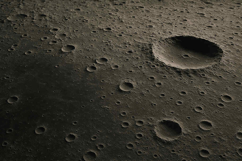
1. High-Resolution Surface Imaging
The Lunar Reconnaissance Orbiter Camera (LROC) captures extremely detailed photos of the Moon’s surface, some showing objects as small as a laptop. These images help scientists create a precise map, almost like a super-detailed street view of the Moon. High-resolution imaging is useful for locating safe landing zones, studying strange surface features, and even revisiting the Apollo landing sites.
When researchers zoom into these images, they can see rock patterns, crater walls, and even how shadows move during different times of the lunar day. This level of detail is something earlier missions could only dream of. For future astronauts, this means fewer unknowns—no surprises when landing and fewer risks when traveling on foot or by rover.
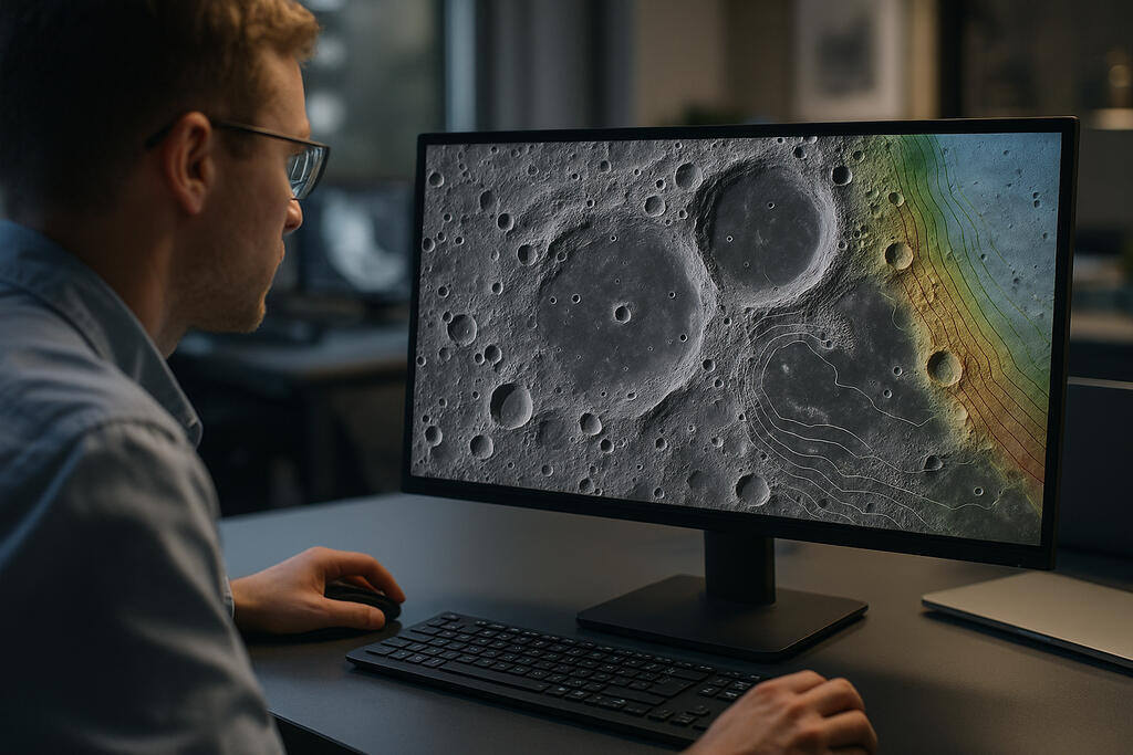
2. Mapping Lunar Elevation and Terrain
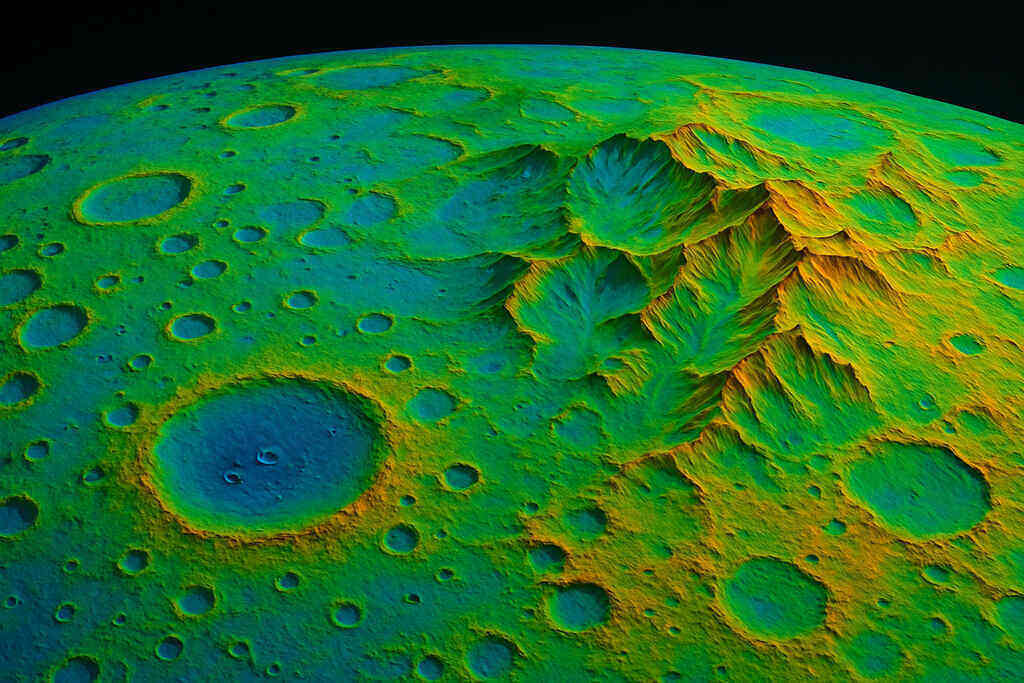
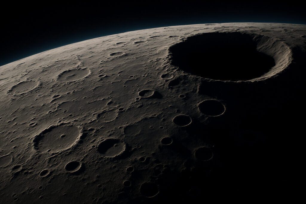
LRO uses a laser instrument called LOLA (Lunar Orbiter Laser Altimeter) to measure the height of hills, craters, cliffs, and valleys across the Moon. Imagine shining a flashlight that measures distance—except this “flashlight” shoots thousands of laser pulses every second. LOLA creates a 3D digital map that shows bumps, slopes, and dips on the surface.
These elevation maps are essential because landers need level ground to avoid tipping over. Rover routes also depend on knowing where slopes are too steep. Elevation mapping also helps scientists study ancient volcanoes, lava channels, and the Moon’s deep south polar craters. Without these 3D maps, lunar exploration would be far more dangerous.
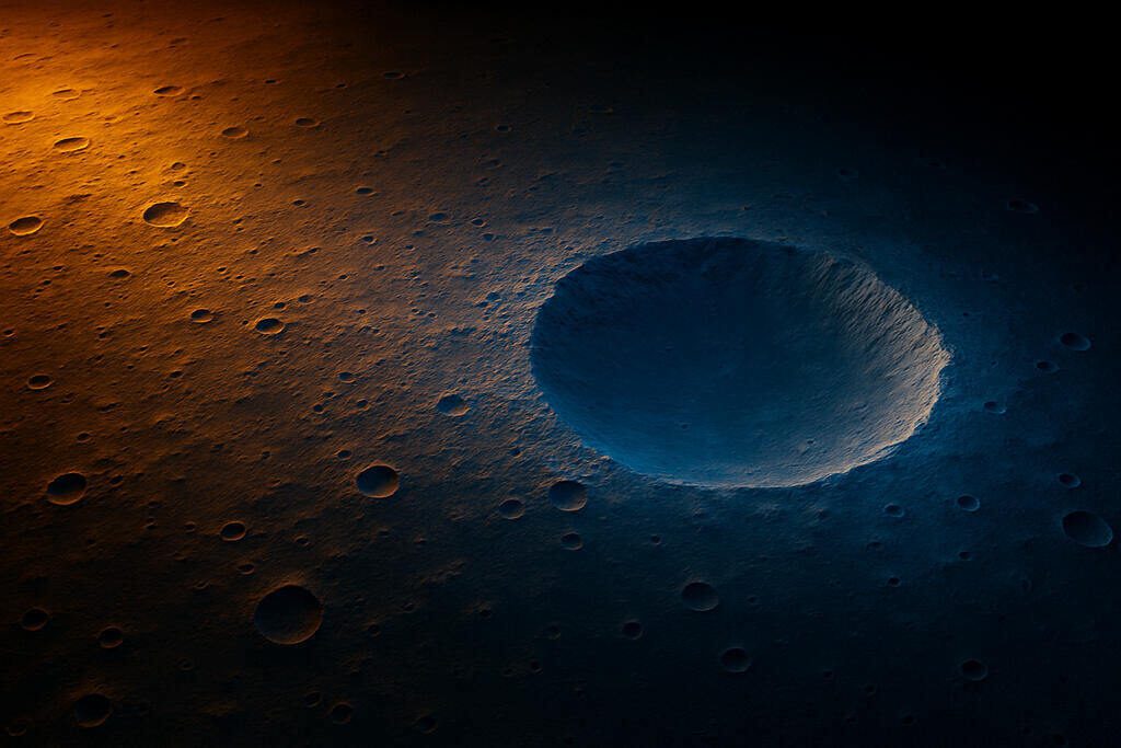
3. Locating Safe Landing Sites
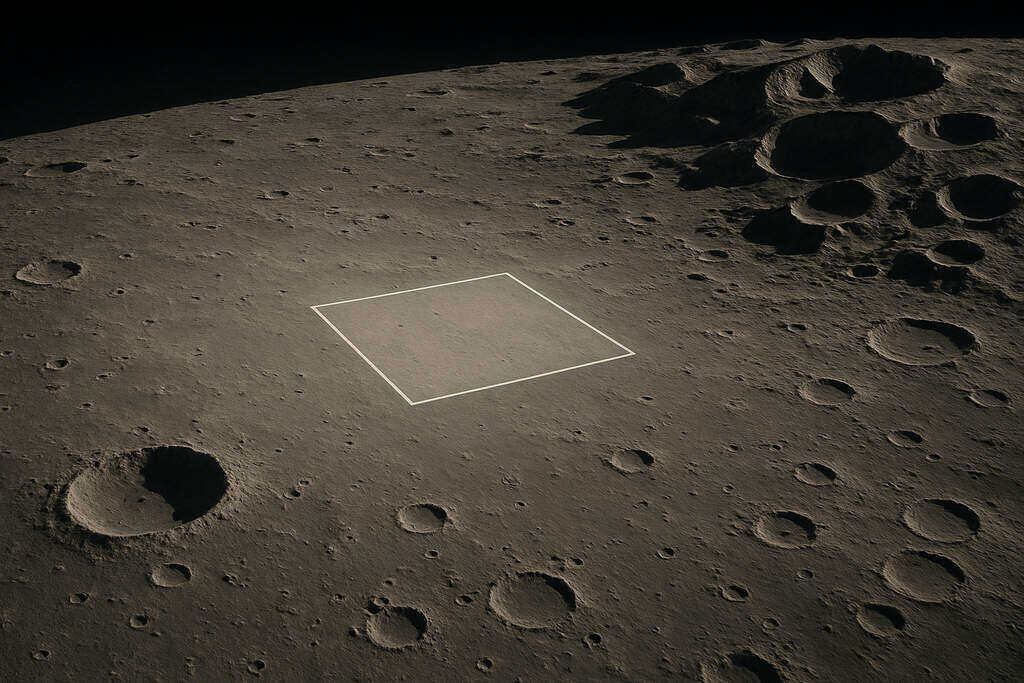
Before any spacecraft lands on the Moon, NASA must know exactly where it can touch down safely. LRO data helps engineers locate smooth, flat areas without large rocks or dangerous slopes. These landing site maps also consider sunlight, which is crucial for solar-powered missions.
The Artemis program is using LRO’s maps to pick landing spots near the south pole—an area with frozen water and long-lasting sunlight. LRO even helps identify “permanently shadowed regions” that may contain ice but are too dark for safe landings. Good landing site selection saves missions from failure and protects astronauts from avoidable hazards.
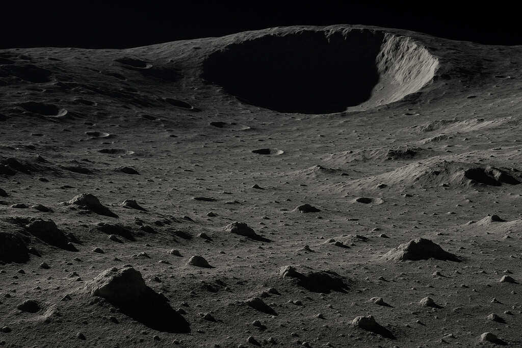
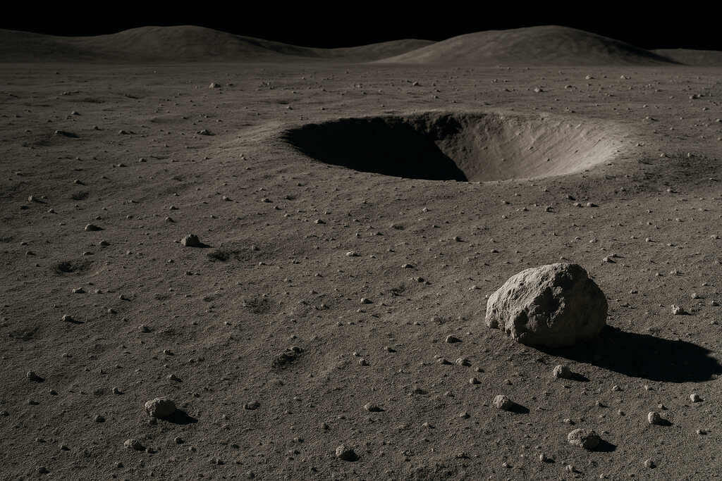
4. Discovering Water Ice in Shadowed Craters
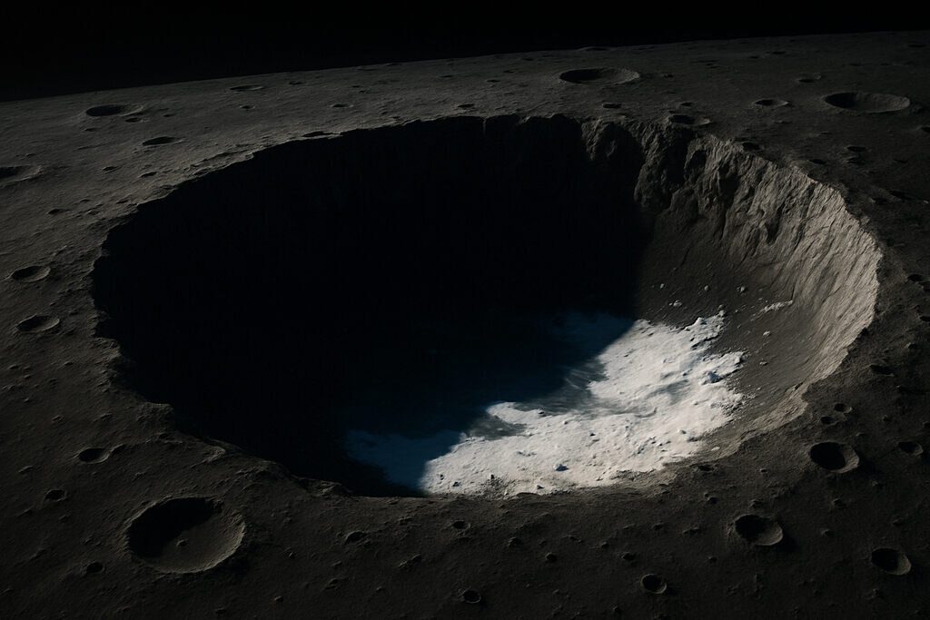
One of LRO’s most exciting roles is searching for water ice in permanently shadowed craters, especially at the lunar south pole. These regions haven’t seen sunlight in billions of years, making them extremely cold—cold enough to freeze and preserve water. LRO’s instruments detect how different materials reflect sunlight and heat, helping identify icy areas.
Water ice is a game-changer. It could provide drinking water, rocket fuel, and breathable oxygen for future missions. Understanding where ice is located helps NASA decide where to build future lunar bases and how to plan resource extraction.
5. Monitoring Lunar Temperatures
The Moon’s temperature swings are extreme. Some places reach 127°C (260°F) during the day, while shadowed spots drop to –173°C (–280°F). LRO carries a thermal instrument that measures temperatures across the entire Moon. This helps scientists understand how heat moves on the lunar surface and how different materials warm or cool.
These measurements matter because astronauts and equipment must survive harsh conditions. For example, areas that stay too cold may damage machinery, while areas that get too hot may require special protection. LRO’s temperature maps guide engineers as they design suits, habitats, and tools.
6. Studying Moonquakes and Surface Stability
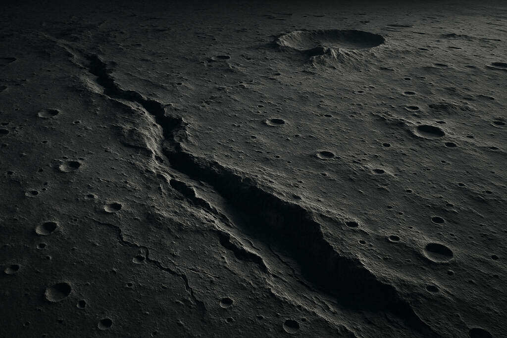
While LRO does not directly measure moonquakes, its detailed maps help identify areas shaped by past seismic activity. By comparing images over time, scientists can detect small shifts or new cracks, offering clues about how stable the surface is. Understanding these patterns is important for building long-lasting lunar structures.
Future habitats must be placed in areas where the ground is unlikely to shift. LRO’s terrain data also helps researchers identify ancient landslides and unstable slopes. This prevents future missions from building bases near dangerous terrain.
7. Revealing Ancient Lava Flows
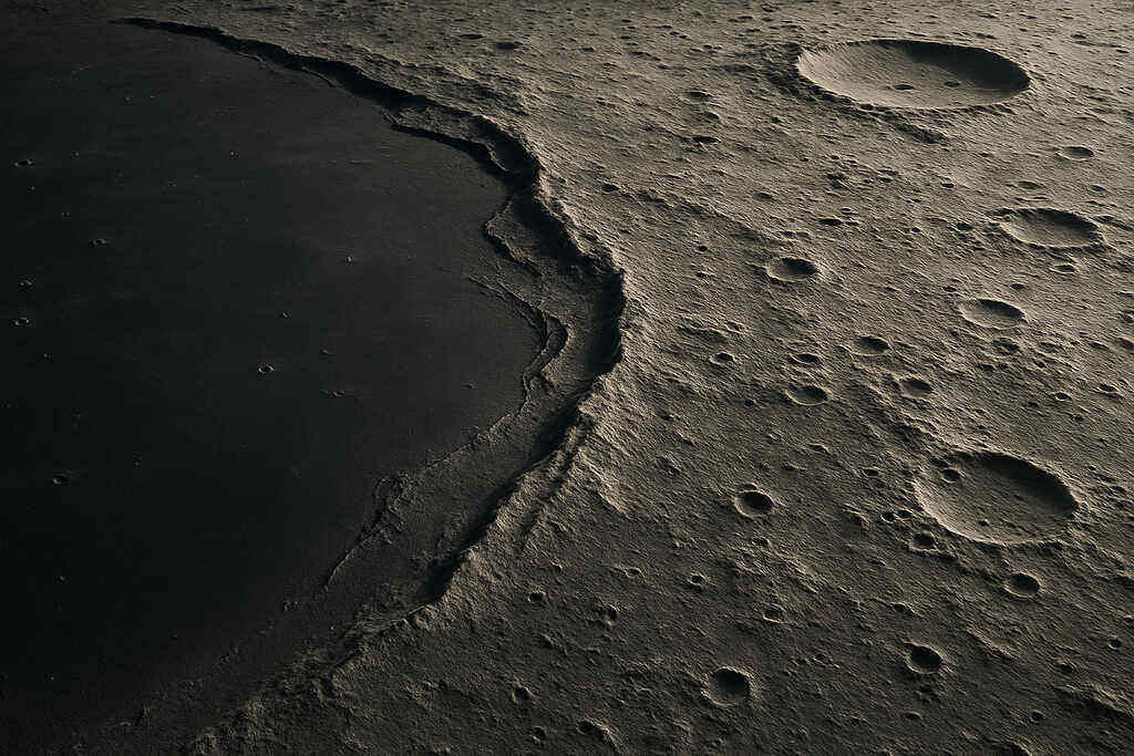
Much of the Moon’s surface was shaped by volcanic activity billions of years ago. LRO’s cameras and elevation tools help scientists identify where lava once flowed and how it hardened into smooth plains called “maria.” These ancient flows tell the story of the Moon’s internal heat and how it evolved.
Understanding lava patterns also helps predict ground stability. Smooth lava plains may provide easier travel routes for future rovers and astronauts. Some lava tubes—underground tunnels formed by flowing lava—might even serve as protective shelters for future explorers.
8. Identifying Potential Resource-Rich Regions
Besides ice, the Moon has other useful resources such as metals, minerals, and helium-3, a rare isotope that could one day be used for clean energy. LRO scans how different materials reflect light, allowing scientists to predict what minerals are present.
These data help identify places that might support long-term human presence. Future missions could extract metals for construction, build solar panels from local materials, or use lunar soil for 3D-printed habitats. LRO’s resource maps are like an early treasure map for sustainable space living.
9. Tracking Changes on the Moon Over Time
Even though the Moon looks unchanged, it’s constantly being hit by micrometeorites. LRO takes repeated images of the same locations to detect new craters or dust movement. Scientists have discovered thousands of fresh impact sites using these comparisons. Tracking change helps researchers understand how quickly the surface evolves.
This is important for predicting risks to equipment and habitats. It also gives scientists a better understanding of space weathering—how solar radiation and dust affect long-term structures. For future missions, this ensures safety and better planning.
10. Creating Detailed Polar Maps
The lunar poles are some of the most mysterious regions on the Moon, mostly because their lighting is unusual. Some peaks receive near-constant sunlight, while nearby craters remain in permanent darkness. LRO’s combination of cameras, laser mapping, and temperature data creates the most accurate polar maps ever made.
These maps are crucial for future missions aiming to explore regions with water ice. They show which areas receive enough sunlight for power and which require special equipment due to extreme darkness. No previous mission has studied the poles with such detail.
11. Supporting Artemis Mission Planning
NASA’s Artemis program heavily depends on LRO’s findings. Every map, temperature chart, and resource prediction helps guide mission design. LRO’s data determines where astronauts will land, where they can travel, and even how they’ll build long-term habitats.
Artemis aims to send humans to the lunar south pole—a place no one has visited before—so LRO’s role is more important than ever. The orbiter essentially acts as the advance survey team for the next generation of lunar explorers.
12. Studying Lunar Dust Behavior
Lunar dust is extremely sharp and clingy. During Apollo missions, astronauts found it sticking to everything—from spacesuits to equipment. LRO helps scientists understand how dust moves across the surface by studying how sunlight reflects off dust particles.
This knowledge helps engineers design better protective gear, seals, and filters for future missions. If dust behaves unpredictably, it could damage visors, solar panels, or scientific instruments. LRO’s dust research helps prevent these risks before astronauts arrive.
13. Preserving Apollo Mission Heritage Sites
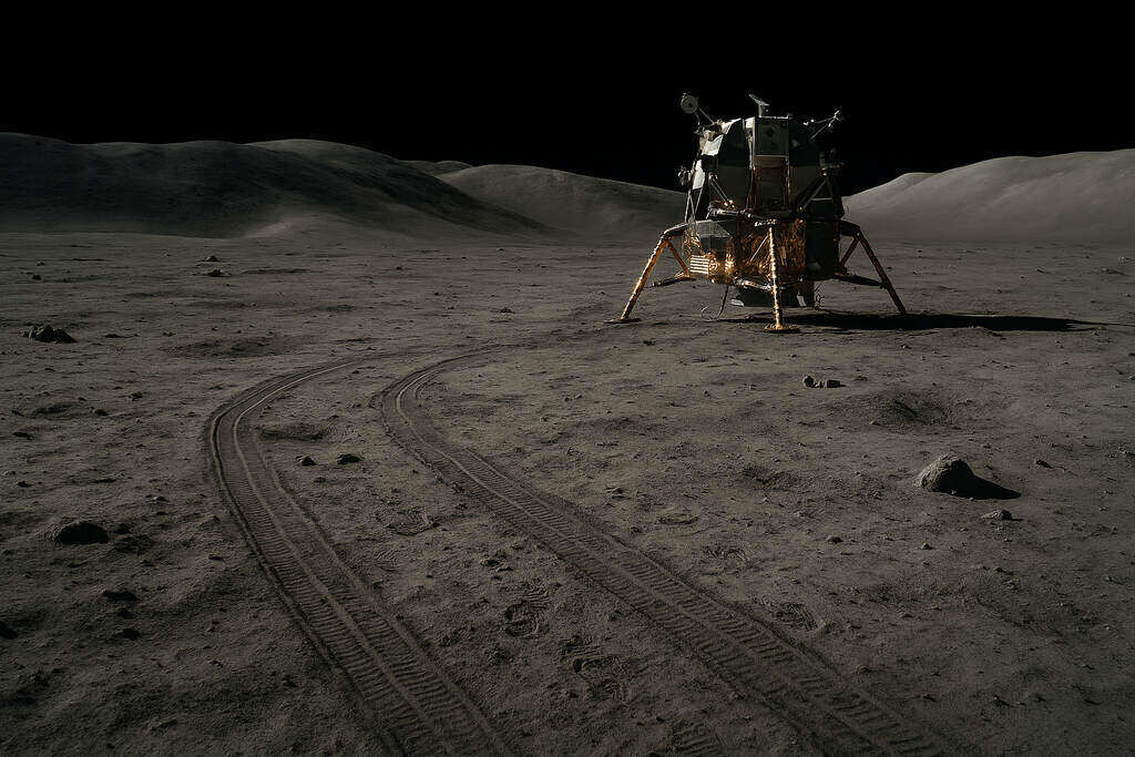
LRO has taken clear images of the Apollo landing sites, showing footprints, rover tracks, and even equipment left behind. These photos help preserve important human history. They also allow scientists to study how materials survive long-term exposure on the Moon. Understanding how old equipment has aged helps engineers design newer, more durable technology. LRO’s documentation ensures that these sites remain protected for future generations.
14. Preparing for Lunar Navigation Systems
Just like GPS helps us navigate on Earth, future astronauts will need accurate maps to travel safely on the Moon. LRO’s detailed images and elevation models form the foundation of upcoming lunar navigation systems.
Engineers use its data to design software that guides rovers and astronauts in real time. This will prevent explorers from getting lost and help missions reach scientific targets more efficiently. LRO is essentially building the “road network” before anyone arrives.
15. Helping Build the Future of a Lunar Base
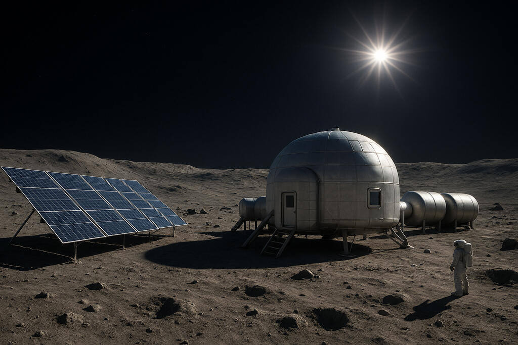
All of LRO’s work—from mapping terrain to locating ice—feeds into one major goal: building a sustainable human presence on the Moon. Future lunar bases will need water, stable ground, sunlight, safe landing zones, and protection from temperature extremes.
LRO’s data helps planners design bases that meet these needs. It also helps determine where solar panels should go, where habitats can be placed, and how astronauts will travel between locations. Without LRO, building a lunar base would be guesswork.